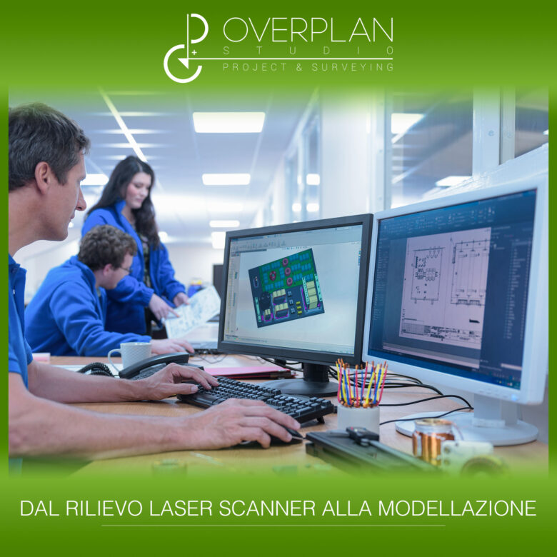
The steps to follow for an error-free Scan to BIM process
The Scan to BIM allows you to extrapolate from the point cloud a 3D BIM model accurate and optimized design of the building. From preparation to data restitution, let's see which are the phases of Scan to BIM to follow to create a efficient, complete and error-free digital model.
The four phases of the Scan to BIM process
In recent years the laser scanner surveys have always become more precise, accurate and faster, in particular thanks to the new instruments equipped with all the technologies to best carry out even the most complicated surveys.
However, the tools alone are not enough to produce quality surveys, on the contrary, there are some steps to follow meticulously to consider the work complete and well done.
In the Scan to BIM process you can recognize four main phases, closely linked to each other, through which to create a complete and precise work. Here are what they are.
Preparation of the survey
In the pre-acquisition phase it is important to carry out all those procedures that allow for avoid problems during scanning, which:
- Make ain-depth analysis to outline the best action strategy;
- Choose the instrumentation most suitable for making the relief;
- Select the places from which to scan;
- Calibrate and carefully position laser scanners and target.
Detection and actual scanning
There acquisition phase It is the main phase of the Scan to BIM process and is carried out with the laser scanner, but very often these technologies can be integrated with the topographic survey, to make the scan more precise and accurate.
At the end of the laser scanner survey one or more images are obtained point clouds, to be processed and modified in the next data processing phase.
Data processing and point cloud editing
After scanning the obtained data is processed in specific editing software of point clouds.
At this stage we are working on the point cloud even before extrapolating it. For example, you can:
- Assign coordinates for align the point cloud and insert it into real space;
- Select only the necessary information, thus lightening the point cloud;
- To derive some mesh from specific parts of the cloud.
It is important to remember when editing the use to be made of the point cloud, only in this way can you clean and modify the file by filtering only the necessary points and selecting only the information useful to the project.
In this way a light point cloud and free of useless data.
Data return and creation of the digital model
After making all the necessary changes you can move on to the final stage of the work, that is the restitution of the data with the extrapolation of the point cloud and the creation of the digital model.
In the Scan to BIM process, from the point cloud you can extract a 3D BIM model complete with all the information necessary for the realization of the project and for the management of all the phases of its life.
Editing the point cloud during data processing makes it easier to choose the appropriate one. Level of definition of the BIM model, allowing you to select only the information necessary for the project and the model itself.


Leave a Comment