
What is topographic surveying and how is it done?
The topographic survey It is a fundamental measurement that every surveyor must know how to perform at his best. Let's see what it is, how it works and what its objectives and tools are to achieve it.
Definition of topographic survey
The topographic survey allows you to graphically represent a building and the environment that surrounds it, through the measuring precise data to obtain and report on paper or digitally the shape, slope and position of the elements present in the area to be surveyed.
This is a indirect relief, in which complex calculations and processing must be carried out to take measurements, and allows for measure and manage via software angles, oblique distances and differences in level.
We can distinguish two main types of topographic surveys:
- Altimetric, in which the differences in height with respect to the reference surface are calculated by measuring them with physical quantities;
- Planimetric, in which the position of specific points on the ground is calculated by measuring angles and distances.
The objectives
This type of relief is fundamental for the representation of the territory and has as its main objectives:
- Collect detailed information to realize cartographic representations or score points on the earth's surface;
- Analyze the territory, find reference elements and draw boundaries to carry out studies for the design and construction of a new building;
- Realize cadastral maps or representations of an existing territory or building.
The tools to use
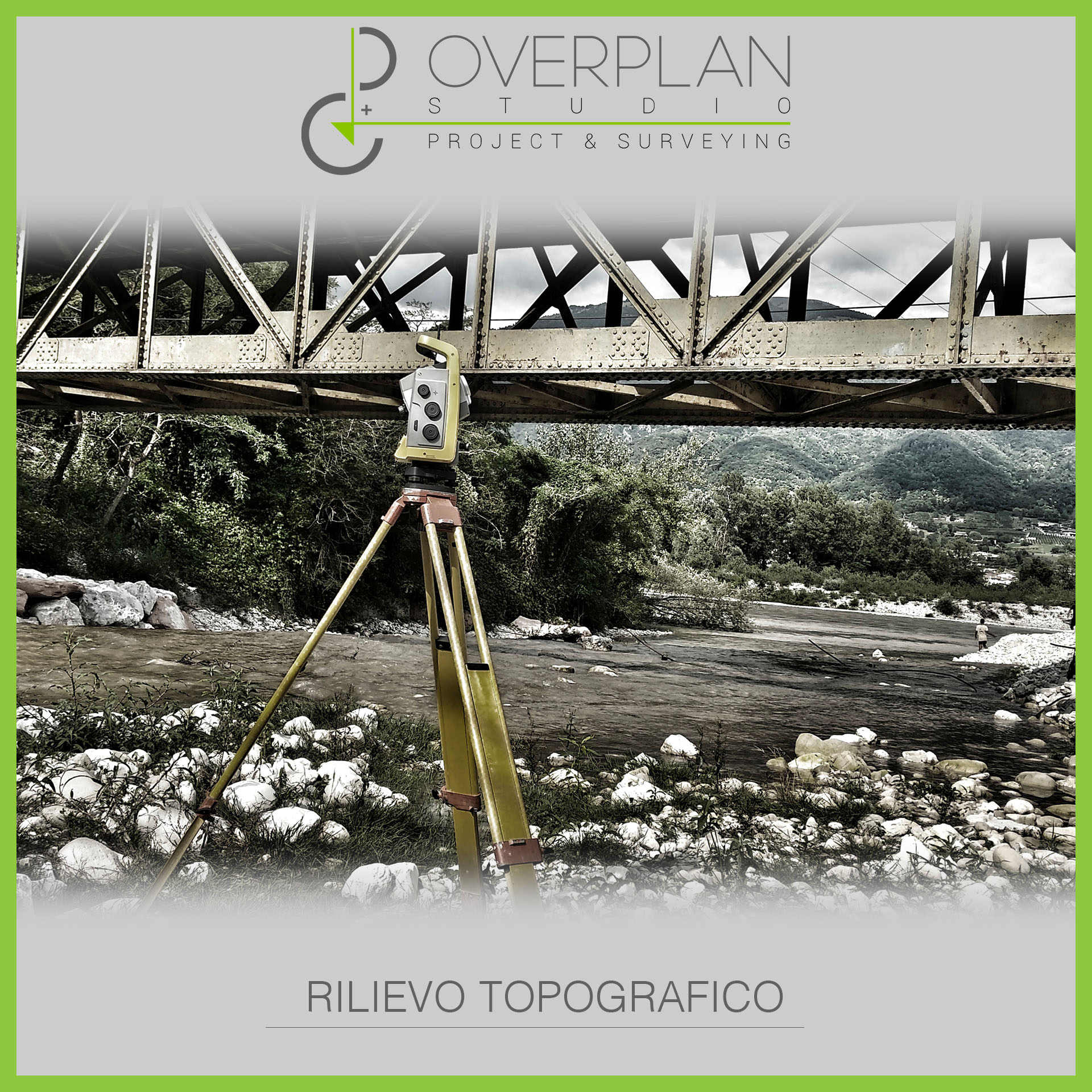
The main one instrument to carry out complete topographic surveys is the total station, born from the union of optical theodolite and electronic distance meter, two technologies that allowed respectively measure angles and distances.
The total station instrument works with two different technologies:
- Infrared rays, which require a reflective prism to perform extremely precise surveys;
- Laser beams, which allow you to detect points even in hard-to-reach environments.
Together with the total station, instruments such as GPS and GNSS, and to achieve a more precise, accurate and faster survey, the instrumentation for the is often used in synergy laser scanner survey.
The phases of the survey beyond the survey itself
Obviously when we talk about topographic surveys it does not simply mean the executive phase, but as for any other type of survey, reference is also made to the preparation phase of the survey and to the subsequent phases, that is, to the graphic reproduction of the work and the resulting works.
In preparation phase topographic surveys are important know the territory, by carrying out an inspection on the site of the survey to understand the action strategy, but above all it is necessary to pay particular attention to the related documents, for example cadastral maps, surveys and maps of the area.
This first phase is as fundamental as the survey phase itself, as the creation of a precise and accurate topographic survey is fundamental for the subsequent phases of the works, first of all those of the tracking surveys.
The tracing surveys are carried out on site and allow for the execution of a detailed design activity, ensuring that all elements of the project are in line with the plans and that they are all placed in the right position.
Leave a Comment